Os cookies.
Este site utiliza cookies para lhe proporcionar uma melhor experiência de utilização.
OK, ACEITO
Sobre
Itens da coleção
Refinar a pesquisa
Coleções digitais
Biblioteca Geral
735
Mapas Nabais Conde
680
História da Ciência
60
OG
57
1BG
1
Ver mais
Tipo
Cartografia
Autor
Portugal. Comissão Nacional do Ambiente
40
Flamsteed, John
30
Walker, J. & C.
24
Bode, Johann Elert
20
Dudley, Robert
19
Ver mais
Data
1953-1975
45
1900-1952
49
1860-1897
46
1690-1708
50
1590-1630
49
Ver mais
Local de publicação
Londres
140
Paris
100
Lisboa
92
Amesterdão
81
[Londres
27
Ver mais
Assunto
Mapa
378
Portugal
299
Carta náutica
59
Espanha
55
Mapas
55
Ver mais
Idioma
Latim
167
Inglês
159
Português
134
Francês
126
Alemão
45
Ver mais
PT
EN
PT
EN
Biblioteca de Fundo Antigo da UC
Almamater
Em destaque
Todos os itens
Sobre
Nesta coleção
Pesquisa avançada
Refinar a pesquisa
Limpar
Coleções digitais
Biblioteca Geral
735
Mapas Nabais Conde
680
História da Ciência
60
OG
57
1BG
1
Ver mais
Tipo
Cartografia
Autor
Portugal. Comissão Nacional do Ambiente
40
Flamsteed, John
30
Walker, J. & C.
24
Bode, Johann Elert
20
Dudley, Robert
19
Ver mais
Data
1953-1975
45
1900-1952
49
1860-1897
46
1690-1708
50
1590-1630
49
Ver mais
Local de publicação
Londres
140
Paris
100
Lisboa
92
Amesterdão
81
[Londres
27
Ver mais
Assunto
Mapa
378
Portugal
299
Carta náutica
59
Espanha
55
Mapas
55
Ver mais
Idioma
Latim
167
Inglês
159
Português
134
Francês
126
Alemão
45
Ver mais
Itens
743
Ver como
Galeria
Lista
Grelha
Ordenar por
Título
Título (descendente)
Data (de publicação)
Data (descendente)
Páginas
1
...
7
8
9
10
11
12
13
14
15
Limite por página
50
100
250
Cartografia
Tentativa de huma Carta Critica de Portugal, que comprehende As Cidades, Comarcas, Alguns Lugares mais principaes destes Reynos = Essay d'une Carte Critique du Portugal, Comprenant Les Cités, Comarques, et quelques autres Lieux principaux de ce Royaume
Cartografia
Tercera
Cartografia
The theatre of war in Portugal with the distances of the fortified towns, from Lisbon
Cartografia
Theatro da guerra em Portugal.
Cartografia
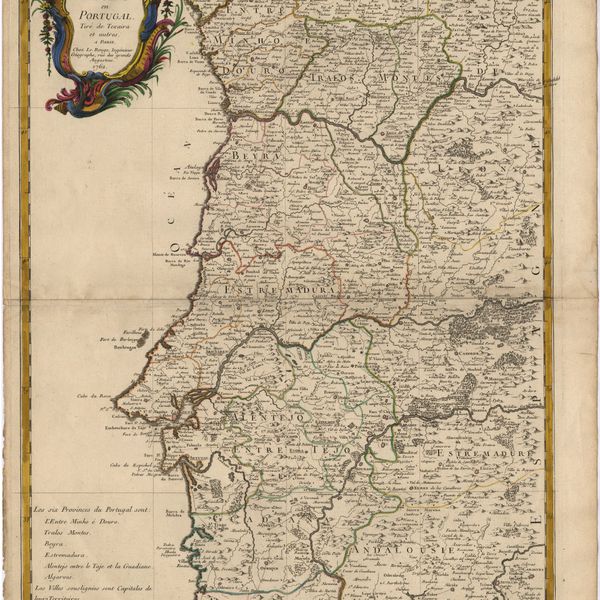
Theâtre de la Guerre en Portugal : tiré de Texaira et autres
Cartografia
Theâtre de la Guerre en Portugal : tiré de Texaira et autres
Cartografia
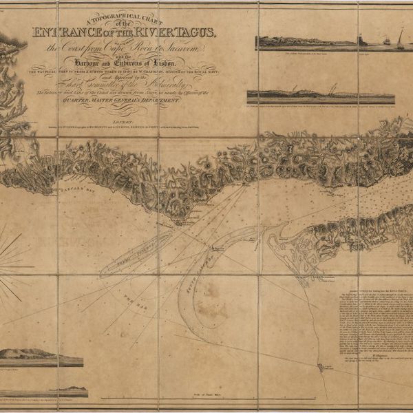
A topographical chart of the entrance of the river Tagus, describing the coast from Cape Roca to Sacavem ; with the harbour and environs of Lisbon. The nautical part is from a survey taken in 1806 by W. Chapman, Master of the Royal Navy; and approved by the Chart Committee of the Admiralty. The interior and line of the coast are drawn from survays made by officers of the Quarter Master General's Department
Cartografia
Transportes colectivos de passageiros : acessibilidades
Cartografia
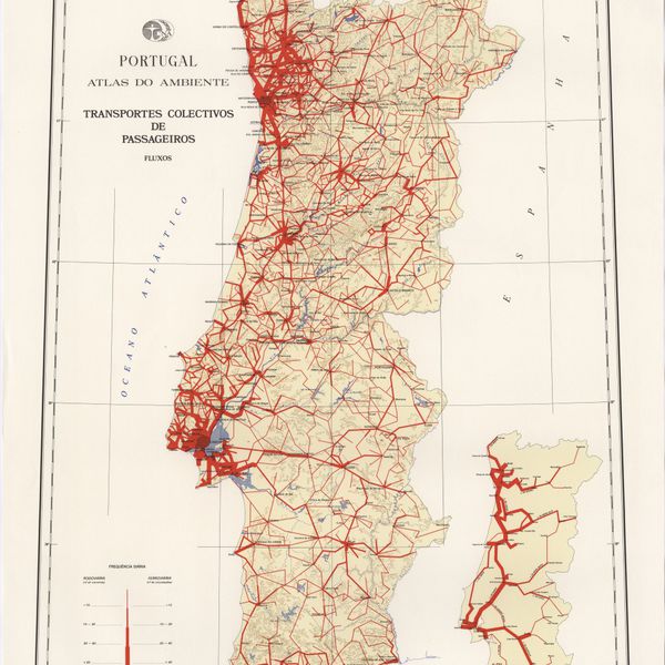
Transportes colectivos de passageiros : fluxos
Cartografia
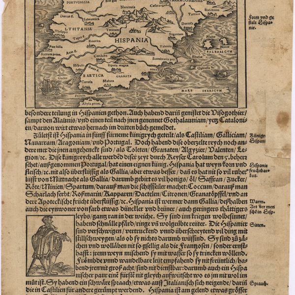
Typvs Hispaniae
Cartografia
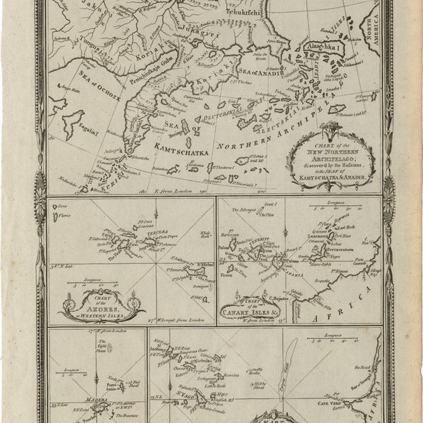
Various charts of islands &c., in the Atlantic & Pacific Oceans
Cartografia
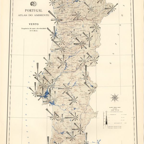
Vento : frequência do rumo e da velocidade (18 T. M. G.)
Cartografia
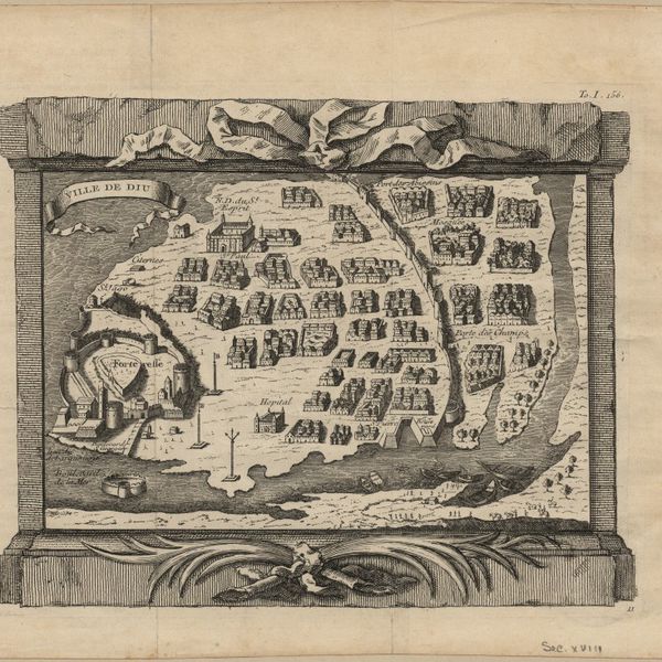
Ville de Diu
Cartografia
Von Europa
Cartografia
Wassende Graade kaart yande geheele Cust van Poortugaal
Cartografia
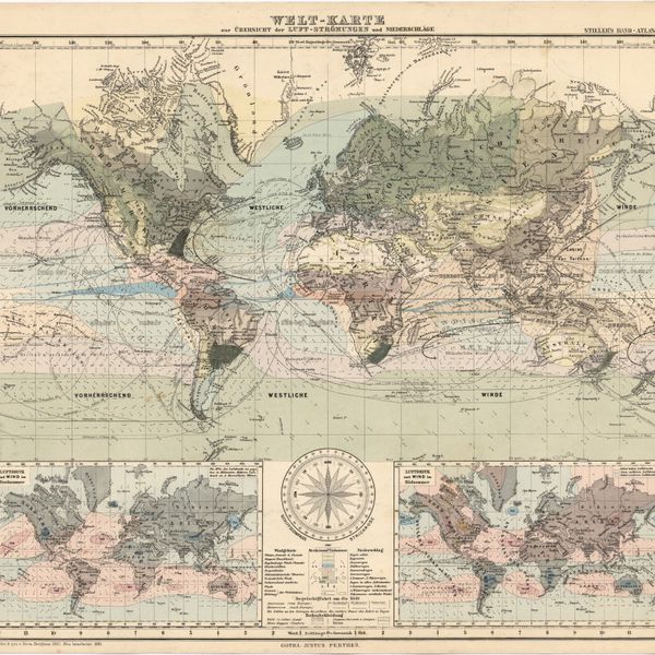
Welt-Karte zur Übersicht der Luft-Strömungen und Niederschläge
Cartografia
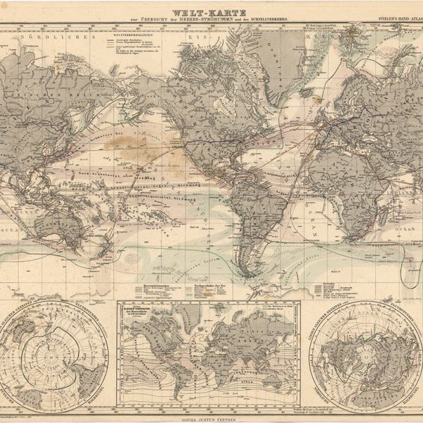
Welt-Karte zur Übersicht der Meeres-Strömungen und des Schnellverkehrs
Cartografia
West Coast of Africa : Sheet I : Cape Spartel to Mazighan
Cartografia
West Coast of Africa : Sheet II : Azamor to Sta. Cruz
Cartografia
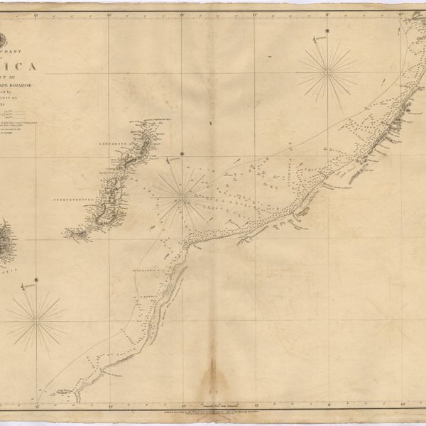
West Coast of Africa : Sheet III : Sta. Cruz to Cape Bojador
Cartografia
West Coast of Africa : Sheet IV : Cape Bojador to Cape Blanco
Cartografia
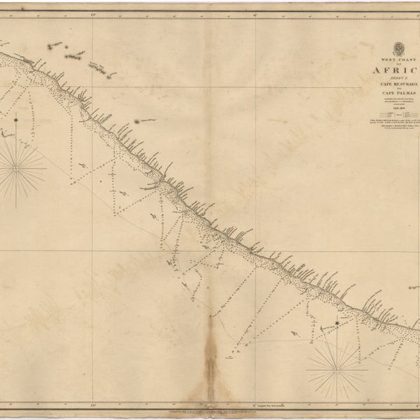
West Coast of Africa : Sheet IX : Sherboro Island to Cape Mesurada
Cartografia
West Coast of Africa : Sheet V : Cape Blanco to Cape Verde
Cartografia
West Coast of Africa : Sheet VI : Cape Verde to Cape Roxo including the Gambia
Cartografia
West Coast of Africa : Sheet VII : from Cape Roxo to Isles de Los
Cartografia
West Coast of Africa : Sheet X : Cape Mesurada to Cape Palmas
Cartografia
West Coast of Africa : Sheet XI : Cape Palmas to Grand Lahou
Cartografia
West Coast of Africa : Sheet XII : Grand Lahou to Cape Three Points
Cartografia
West Coast of Africa : Sheet XIII : Cape Three Points to Barracoe
Cartografia
West Coast of Africa : Sheet XIV : Barracoe to Cape St. Paul
Cartografia
West Coast of Africa : Sheet XVII : Cape Formosa to Fernando Po
Cartografia
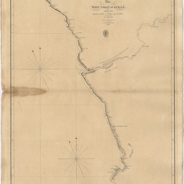
The West Coast of Africa : Sheet XVII from Banda Point to St. Paul de Loanda including the Congo
Cartografia
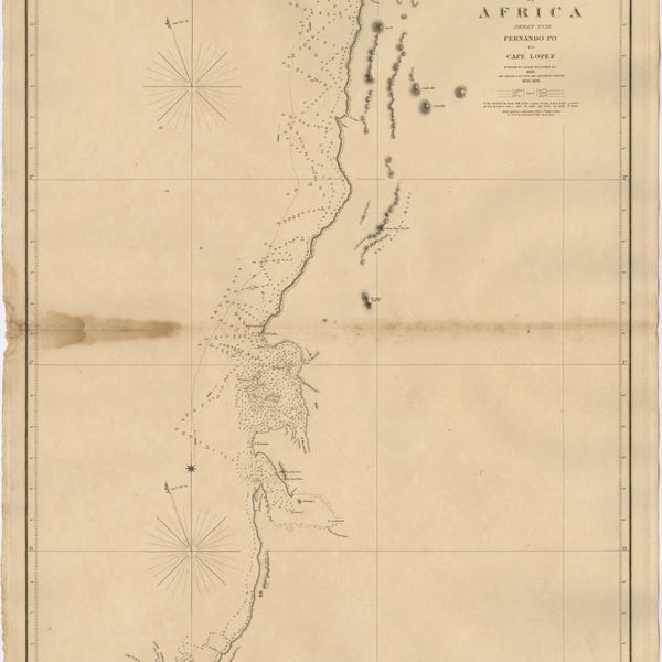
West Coast of Africa : Sheet XVIII : Fernando Po to Cape Lopez
Cartografia
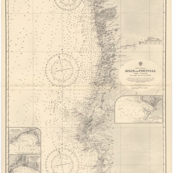
West coast of Spain and Portugal : Cabo Villano to Cabo de S.º Vicente : compiled from the latest information in the Hidrographic Office to 1958
Cartografia
West coast of Spain and Portugal : Cape Finisterre to Cape St. Vincent : compiled from the latest information in the Hidrographic Office to 1881
Cartografia
West coasts of Spain and Portugal : Cabo Villanno to Oporto : from the spanish and portuguese government charts to 1916 : with corrections and additions to 1921
Cartografia
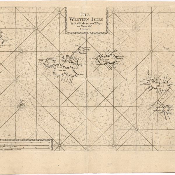
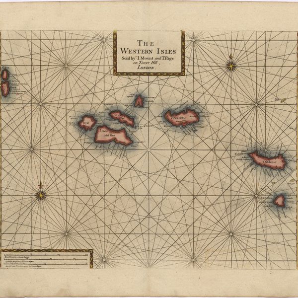
The Western Isles
Cartografia
The Western Isles
Cartografia
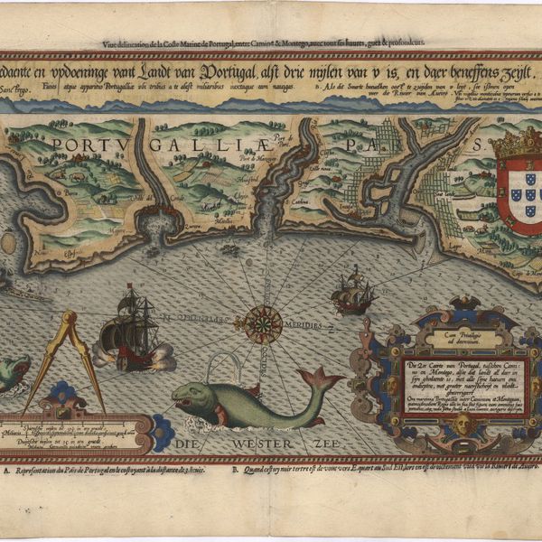
Die zee caerte van Portugal, tusschen Camino en Montego, alsoe dat landt all daer in sijn ghedaente is, met alle srjne haeuen enn ondiepten, met groeter naersticheijt en vliedt ghecorrigeert
Cartografia
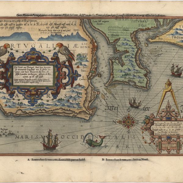
Zee carte van Portugal, daer inno begreven de vermaerde Coop stadt van Lisbone S:Vues met hare Riuieren Soe hem die selfde Landen verthoonen alsmen de Riuieren op eñ off zeijlt
Cartografia
Zee carte van Portugal, daer inno begreven de vermaerde Coop stadt van Lisbone S:Vues met hare Riuieren Soe hem die selfde Landen verthoonen alsmen de Riuieren op eñ off zeijlt
Cartografia
Zeecaart van de Rivier van Lisbon ende bancken voor St. Vues
Cartografia
De Zeecusten van Galissen tusschen de Cabo Finisterre en Camino